
Chale topographic map
Interactive map
Click on the map to display elevation.
About this map
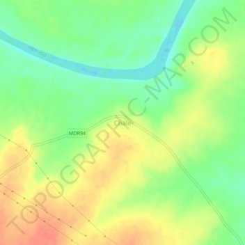
Name: Chale topographic map, elevation, terrain.
Location: Chale, Pandharpur, Solapur, Maharashtra, India (17.65318 75.40157 17.69318 75.44157)
Average elevation: 456 m
Minimum elevation: 432 m
Maximum elevation: 479 m
Other topographic maps
Click on a map to view its topography, its elevation and its terrain.
Korti
India > Maharashtra > Pandharpur > Korti
Korti, Pandharpur, Solapur, Maharashtra, India
Average elevation: 479 m