
Samga topographic map
Interactive map
Click on the map to display elevation.
About this map
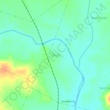
Name: Samga topographic map, elevation, terrain.
Location: Samga, Hingoli, Maharashtra, India (19.65617 77.15811 19.69617 77.19811)
Average elevation: 444 m
Minimum elevation: 431 m
Maximum elevation: 473 m
Other topographic maps
Click on a map to view its topography, its elevation and its terrain.