
Thank you for supporting this site ❤️
Make a donation
Make a donation
Ried im Zillertal topographic map
Click on the map to display elevation.
Thank you for supporting this site ❤️
Make a donation
Make a donation
About this map
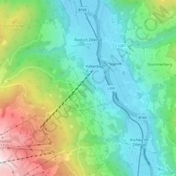
Name: Ried im Zillertal topographic map, elevation, terrain.
Location: Ried im Zillertal, Bezirk Schwaz, Tyrol, 6273, Austria (47.25371 11.80225 47.31302 11.87619)
Average elevation: 1,038 m
Minimum elevation: 540 m
Maximum elevation: 2,324 m
Thank you for supporting this site ❤️
Make a donation
Make a donation