
Gateway topographic map
Click on the map to display elevation.
About this map
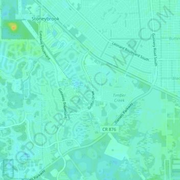
Name: Gateway topographic map, elevation, terrain.
Location: Gateway, Lee County, Florida, United States (26.54761 -81.76942 26.61267 -81.71367)
Average elevation: 9 m
Minimum elevation: 5 m
Maximum elevation: 28 m
Other topographic maps
Click on a map to view its topography, its elevation and its terrain.
Bonita Landing
United States > Florida > Lee County > Bonita Springs > Bonita Landing
Average elevation: 6 m