
Pyhä-Luosto National Park topographic map
Interactive map
Click on the map to display elevation.
About this map
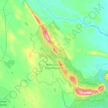
Name: Pyhä-Luosto National Park topographic map, elevation, terrain.
Location: Pyhä-Luosto National Park, Lapland, Mainland Finland, Finland (66.97763 26.74432 67.22981 27.25428)
Average elevation: 225 m
Minimum elevation: 157 m
Maximum elevation: 529 m
Other topographic maps
Click on a map to view its topography, its elevation and its terrain.