
Campos del Río topographic map
Interactive map
Click on the map to display elevation.
About this map
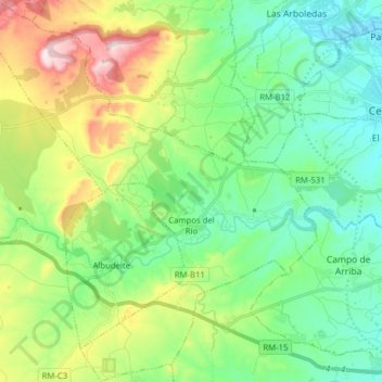
Name: Campos del Río topographic map, elevation, terrain.
Location: Campos del Río, Río Mula, Region of Murcia, 30191, Spain (37.98991 -1.44041 38.11349 -1.30078)
Average elevation: 223 m
Minimum elevation: 83 m
Maximum elevation: 553 m