
Thank you for supporting this site ❤️
Make a donation
Make a donation
Panjab topographic map
Click on the map to display elevation.
Thank you for supporting this site ❤️
Make a donation
Make a donation
Panjab
At 2,700 metres above sea level it has the highest altitude in the province, the city of Panjab is located 298 km from the capital Kabul - however travel is difficult especially in winter - the journey takes 14 hours. Two rival parties, Pazdar and Hezb-e-Wahdat, dominate the district and have divided the district between them - there has been fighting between them
Thank you for supporting this site ❤️
Make a donation
Make a donation
About this map
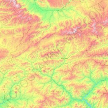
Name: Panjab topographic map, elevation, terrain.
Location: Panjab, Bamyan Province, Afghanistan (34.23409 66.48302 34.59862 67.44161)
Average elevation: 3,133 m
Minimum elevation: 2,108 m
Maximum elevation: 4,552 m
Thank you for supporting this site ❤️
Make a donation
Make a donation