
Oxford topographic map
Interactive map
Click on the map to display elevation.
About this map
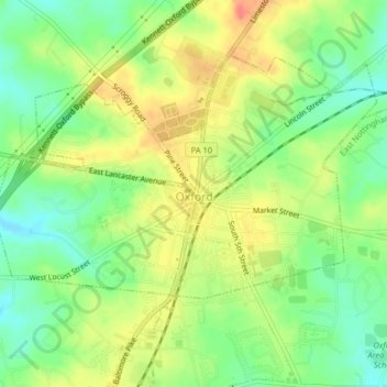
Name: Oxford topographic map, elevation, terrain.
Location: Oxford, Chester County, Pennsylvania, 19363, USA (39.77419 -76.00035 39.79657 -75.95995)
Average elevation: 159 m
Minimum elevation: 132 m
Maximum elevation: 190 m