
Thank you for supporting this site ❤️
Make a donation
Make a donation
Güstrow topographic map
Click on the map to display elevation.
Thank you for supporting this site ❤️
Make a donation
Make a donation
About this map
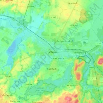
Name: Güstrow topographic map, elevation, terrain.
Location: Güstrow, Landkreis Rostock, Mecklenburg-Vorpommern, Germany (53.75092 12.11902 53.83711 12.29445)
Average elevation: 19 m
Minimum elevation: 0 m
Maximum elevation: 65 m
Thank you for supporting this site ❤️
Make a donation
Make a donation