
Vyšná Rybnica topographic map
Interactive map
Click on the map to display elevation.
Vyšná Rybnica
The village lies at an altitude of 222 metres and covers an area of 40.082 km². It has a population of 375 people.
About this map
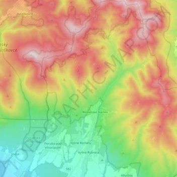
Name: Vyšná Rybnica topographic map, elevation, terrain.
Average elevation: 538 m
Minimum elevation: 109 m
Maximum elevation: 1,047 m