
Ørland topographic map
Interactive map
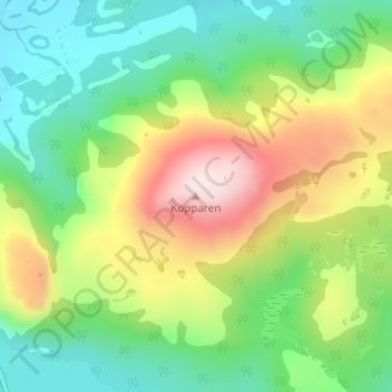
Click on the map to display elevation.
About this map
Name: Ørland topographic map, elevation, terrain.
Location: Ørland, Trøndelag, Norway, Kopparen (63.80599 9.73630 63.80609 9.73640)
Average elevation: 183 m
Minimum elevation: 13 m
Maximum elevation: 482 m
Other topographic maps
Click on a map to view its topography, its elevation and its terrain.