
Lancaster topographic map
Interactive map
Click on the map to display elevation.
About this map
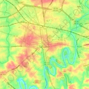
Name: Lancaster topographic map, elevation, terrain.
Location: Lancaster, Lancaster County, Pennsylvania, United States (40.00691 -76.34655 40.07303 -76.25409)
Average elevation: 102 m
Minimum elevation: 65 m
Maximum elevation: 135 m