
Thank you for supporting this site ❤️
Make a donation
Make a donation
Flushing topographic map
Click on the map to display elevation.
Thank you for supporting this site ❤️
Make a donation
Make a donation
About this map
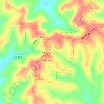
Name: Flushing topographic map, elevation, terrain.
Location: Flushing, Belmont County, Ohio, United States (40.13817 -81.07551 40.15415 -81.04330)
Average elevation: 365 m
Minimum elevation: 317 m
Maximum elevation: 404 m
Thank you for supporting this site ❤️
Make a donation
Make a donation