
Tanabe topographic map
Interactive map
Click on the map to display elevation.
About this map
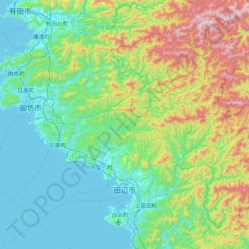
Name: Tanabe topographic map, elevation, terrain.
Location: Tanabe, Wakayama Prefecture, 646-8545, Japan (33.64425 135.23502 34.06849 135.83048)
Average elevation: 302 m
Minimum elevation: -1 m
Maximum elevation: 1,334 m