
Øvre Eiker topographic map
Interactive map
Click on the map to display elevation.
About this map
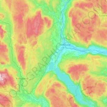
Name: Øvre Eiker topographic map, elevation, terrain.
Location: Øvre Eiker, Buskerud, Norway (59.58248 9.64547 59.90593 10.06200)
Average elevation: 307 m
Minimum elevation: -1 m
Maximum elevation: 883 m
Other topographic maps
Click on a map to view its topography, its elevation and its terrain.