
Boca Grande topographic map
Click on the map to display elevation.
About this map
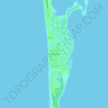
Name: Boca Grande topographic map, elevation, terrain.
Location: Boca Grande, Lee County, Florida, 33921, United States (26.72896 -82.28204 26.76896 -82.24204)
Average elevation: 1 m
Minimum elevation: -2 m
Maximum elevation: 9 m
Other topographic maps
Click on a map to view its topography, its elevation and its terrain.