
Thank you for supporting this site ❤️
Make a donation
Make a donation
Connah's Quay topographic map
Click on the map to display elevation.
Thank you for supporting this site ❤️
Make a donation
Make a donation
About this map
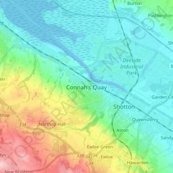
Name: Connah's Quay topographic map, elevation, terrain.
Location: Connah's Quay, Flintshire, Wales, CH5 4AL, United Kingdom (53.17990 -3.10618 53.25990 -3.02618)
Average elevation: 42 m
Minimum elevation: -1 m
Maximum elevation: 163 m
Thank you for supporting this site ❤️
Make a donation
Make a donation
Other topographic maps
Click on a map to view its topography, its elevation and its terrain.