
Kanpu Zan topographic map
Interactive map
Click on the map to display elevation.
About this map
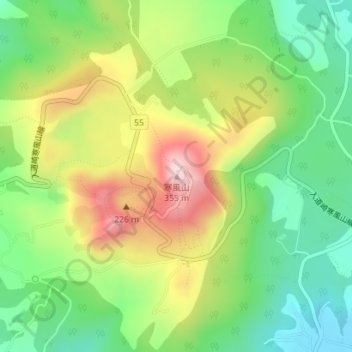
Name: Kanpu Zan topographic map, elevation, terrain.
Location: Kanpu Zan, Oga, Akita Prefecture, Japan (39.93362 139.87528 39.93372 139.87538)
Average elevation: 153 m
Minimum elevation: 15 m
Maximum elevation: 351 m