
Moinabad topographic map
Interactive map
Click on the map to display elevation.
About this map
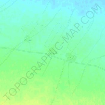
Name: Moinabad topographic map, elevation, terrain.
Location: Moinabad, بخش زواره, Ardestan County, Isfahan Province, Iran (33.54329 52.44525 33.58329 52.48525)
Average elevation: 956 m
Minimum elevation: 948 m
Maximum elevation: 965 m
Other topographic maps
Click on a map to view its topography, its elevation and its terrain.
Telk Abad
Iran > Isfahan Province > Ardestan County > دهستان ریگستان > Telk Abad
Telk Abad, دهستان ریگستان, بخش زواره, Ardestan County, Isfahan Province, 8441816943, Iran
Average elevation: 989 m