
Sombreffe topographic map
Interactive map
Click on the map to display elevation.
About this map
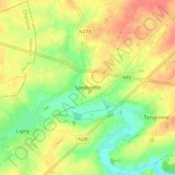
Name: Sombreffe topographic map, elevation, terrain.
Location: Sombreffe, Namur, Wallonia, 5140, Belgium (50.50254 4.57919 50.54254 4.61919)
Average elevation: 149 m
Minimum elevation: 121 m
Maximum elevation: 173 m