
Thank you for supporting this site ❤️
Make a donation
Make a donation
Clyde topographic map
Click on the map to display elevation.
Thank you for supporting this site ❤️
Make a donation
Make a donation
About this map
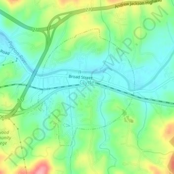
Name: Clyde topographic map, elevation, terrain.
Location: Clyde, Haywood County, North Carolina, United States (35.52356 -82.92156 35.54172 -82.90160)
Average elevation: 802 m
Minimum elevation: 764 m
Maximum elevation: 880 m
Thank you for supporting this site ❤️
Make a donation
Make a donation