
Thank you for supporting this site ❤️
Make a donation
Make a donation
Le Quéroy topographic map
Click on the map to display elevation.
Thank you for supporting this site ❤️
Make a donation
Make a donation
About this map
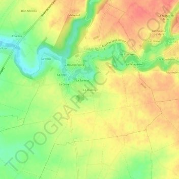
Name: Le Quéroy topographic map, elevation, terrain.
Average elevation: 99 m
Minimum elevation: 66 m
Maximum elevation: 125 m
Thank you for supporting this site ❤️
Make a donation
Make a donation
Other topographic maps
Click on a map to view its topography, its elevation and its terrain.
Château de Melzéard
France > Nouvelle-Aquitaine > Deux-Sèvres > Melle > Melzéard
Average elevation: 101 m
Saint-Léger-de-la-Martinière
France > Nouvelle-Aquitaine > Deux-Sèvres > Melle
Average elevation: 151 m