
Thank you for supporting this site ❤️
Make a donation
Make a donation
South Daytona topographic map
Click on the map to display elevation.
Thank you for supporting this site ❤️
Make a donation
Make a donation
South Daytona
According to the United States Census Bureau, the city has a total area of 5.0 square miles (13.0 km2), of which 3.7 square miles (9.6 km2) is land and 1.3 square miles (3.4 km2) (26.29%) is water. There are nearly 44.5 miles (71.6 km) of roadway, 40 miles (64 km) of sewer lines, and 55 miles (89 km) of water lines throughout the city. The average elevation is 6.5 feet (2.0 m) above sea level.
Thank you for supporting this site ❤️
Make a donation
Make a donation
About this map
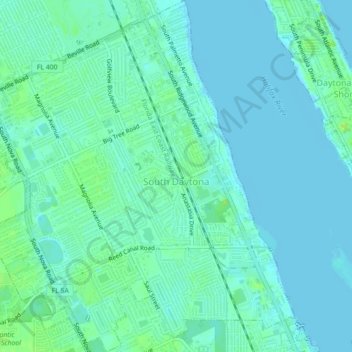
Name: South Daytona topographic map, elevation, terrain.
Location: South Daytona, Volusia County, Florida, United States (29.14701 -81.02848 29.18581 -80.98946)
Average elevation: 4 m
Minimum elevation: -3 m
Maximum elevation: 12 m
Thank you for supporting this site ❤️
Make a donation
Make a donation
Other topographic maps
Click on a map to view its topography, its elevation and its terrain.