
Kulathuvancheri topographic map
Interactive map
Click on the map to display elevation.
About this map
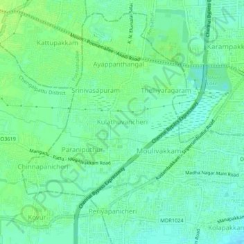
Name: Kulathuvancheri topographic map, elevation, terrain.
Location: Kulathuvancheri, Alandur, Tamil Nadu, 602101, India (13.00703 80.11522 13.04703 80.15522)
Average elevation: 17 m
Minimum elevation: 11 m
Maximum elevation: 23 m