
Peddur topographic map
Interactive map
Click on the map to display elevation.
About this map
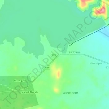
Name: Peddur topographic map, elevation, terrain.
Location: Peddur, Kaddampeddur mandal, Nirmal, Telangana, 504202, India (19.07830 78.75245 19.11830 78.79245)
Average elevation: 217 m
Minimum elevation: 185 m
Maximum elevation: 302 m