
Mutha topographic map
Interactive map
Click on the map to display elevation.
About this map
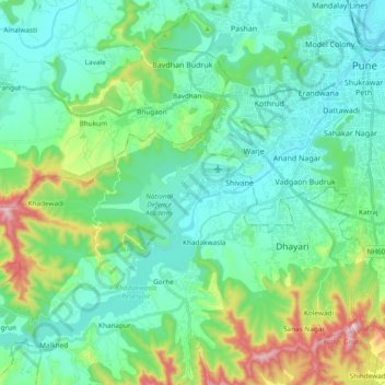
Name: Mutha topographic map, elevation, terrain.
Location: Mutha, Sangrun, Haveli, Maharashtra, 411030, India (18.39285 73.67209 18.53157 73.86075)
Average elevation: 671 m
Minimum elevation: 538 m
Maximum elevation: 1,142 m