
Cheviot Hills topographic map
Interactive map
Click on the map to display elevation.
About this map
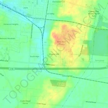
Name: Cheviot Hills topographic map, elevation, terrain.
Location: Cheviot Hills, Clark County, Ohio, 45505, USA (39.87562 -83.78076 39.91562 -83.74076)
Average elevation: 321 m
Minimum elevation: 304 m
Maximum elevation: 346 m