
Thank you for supporting this site ❤️
Make a donation
Make a donation
Grandview topographic map
Click on the map to display elevation.
Thank you for supporting this site ❤️
Make a donation
Make a donation
About this map
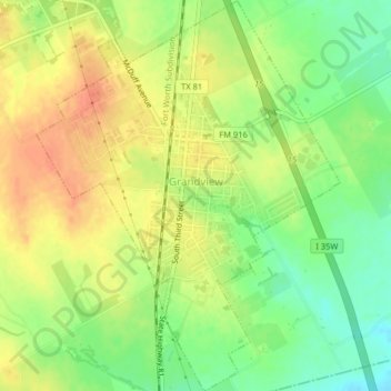
Name: Grandview topographic map, elevation, terrain.
Location: Grandview, Johnson County, Texas, United States (32.25512 -97.19289 32.28193 -97.16247)
Average elevation: 208 m
Minimum elevation: 187 m
Maximum elevation: 226 m
Thank you for supporting this site ❤️
Make a donation
Make a donation