
Creek County topographic map
Interactive map
Click on the map to display elevation.
About this map
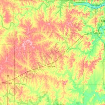
Name: Creek County topographic map, elevation, terrain.
Location: Creek County, Oklahoma, United States (35.63881 -96.62312 36.16438 -96.02811)
Average elevation: 255 m
Minimum elevation: 188 m
Maximum elevation: 338 m