
Desborough topographic map
Click on the map to display elevation.
About this map
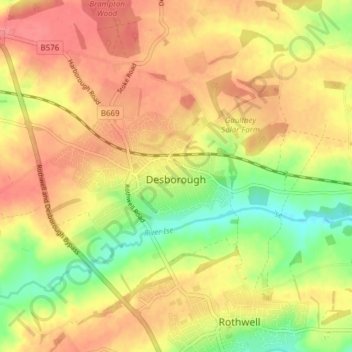
Name: Desborough topographic map, elevation, terrain.
Location: Desborough, North Northamptonshire, England, United Kingdom (52.42516 -0.86627 52.45841 -0.79018)
Average elevation: 126 m
Minimum elevation: 85 m
Maximum elevation: 154 m