
Cimarron Hills topographic map
Interactive map
Click on the map to display elevation.
About this map
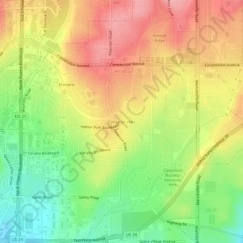
Name: Cimarron Hills topographic map, elevation, terrain.
Location: Cimarron Hills, El Paso County, Colorado, 80970, USA (38.83861 -104.71886 38.87861 -104.67886)
Average elevation: 1,949 m
Minimum elevation: 1,890 m
Maximum elevation: 2,002 m