
Gariyala topographic map
Interactive map
Click on the map to display elevation.
About this map
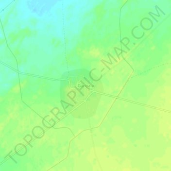
Name: Gariyala topographic map, elevation, terrain.
Location: Gariyala, Kolayat Tehsil, Bikaner, Rajasthan, India (27.74175 72.56987 27.78175 72.60987)
Average elevation: 203 m
Minimum elevation: 193 m
Maximum elevation: 208 m
Other topographic maps
Click on a map to view its topography, its elevation and its terrain.
Hadan
India > Rajasthan > Kolayat Tehsil
Hadan, Kolayat Tehsil, Bikaner, Rajasthan, India
Average elevation: 275 m