
Marigot topographic map
Interactive map
Click on the map to display elevation.
About this map
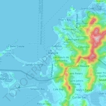
Name: Marigot topographic map, elevation, terrain.
Location: Marigot, Saint Martin (France), 97150, France (18.02685 -63.12489 18.10685 -63.04489)
Average elevation: 44 m
Minimum elevation: -2 m
Maximum elevation: 414 m