
Corbett topographic map
Click on the map to display elevation.
About this map
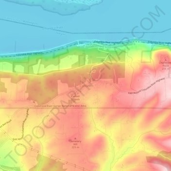
Name: Corbett topographic map, elevation, terrain.
Location: Corbett, Multnomah County, Oregon, 97019, United States (45.51145 -122.31226 45.55145 -122.27226)
Average elevation: 127 m
Minimum elevation: -1 m
Maximum elevation: 264 m