
Partney topographic map
Click on the map to display elevation.
About this map
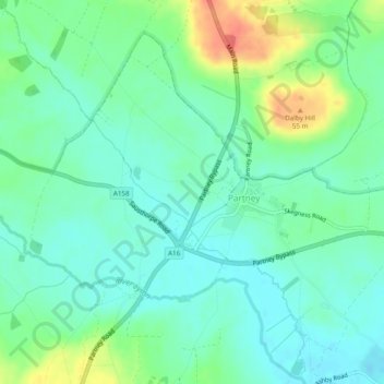
Name: Partney topographic map, elevation, terrain.
Location: Partney, East Lindsey, Lincolnshire, England, United Kingdom (53.18216 0.08263 53.20618 0.13092)
Average elevation: 26 m
Minimum elevation: 10 m
Maximum elevation: 63 m