
Thank you for supporting this site ❤️
Make a donation
Make a donation
Andergrove topographic map
Click on the map to display elevation.
Thank you for supporting this site ❤️
Make a donation
Make a donation
About this map
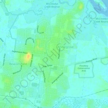
Name: Andergrove topographic map, elevation, terrain.
Location: Andergrove, Mackay, Mackay Regional, Queensland, Australia (-21.11331 149.16889 -21.07200 149.19873)
Average elevation: 7 m
Minimum elevation: -1 m
Maximum elevation: 26 m
Thank you for supporting this site ❤️
Make a donation
Make a donation