
Hatu küla topographic map
Interactive map
Click on the map to display elevation.
About this map
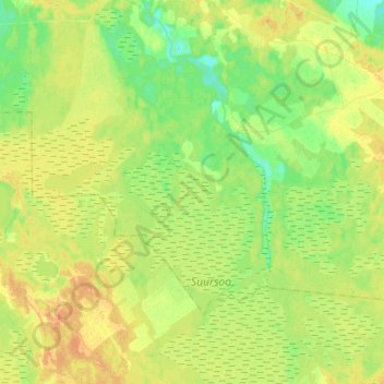
Name: Hatu küla topographic map, elevation, terrain.
Location: Hatu küla, Lääne-Harju vald, Harju County, 76013, Estonia (59.12951 23.78265 59.22277 24.06642)
Average elevation: 16 m
Minimum elevation: 3 m
Maximum elevation: 30 m
Other topographic maps
Click on a map to view its topography, its elevation and its terrain.